You don't need to go far to find wild coastline, wooded trails and some of the South Shore's best views. Whether you're looking for an easy walk before dinner, a rugged coastal hike or an afternoon adventure, there's something nearby for every pace. These are the trails and outdoor experiences we return to again and again, from the sea caves a few minutes down the road to a day out on the water. Pack sturdy shoes, bug spray and an extra layer, and check the weather and tide before you set out.
| If You're Looking For | Our Recommendation | |
|---|---|---|
| Easiest Walk | Bay to Bay Trail | |
| Best Ocean Views | The Ovens Sea Cave Trail | |
| Best Hike + Beach | Gaff Point | |
| Best Family Walk | Risser's beach Provincial Park | |
| Best Longer Hike | Bay to Bay Trail, end to end | |
| Best Rainy-Day Option | Fisheries Museum of the Atlantic | |
| Best Photo Spot | Blue Rocks, at golden hour | |
| Most Adventurous | Guided sea kayaking | |
Drive times are calculated from The Salty Cribb
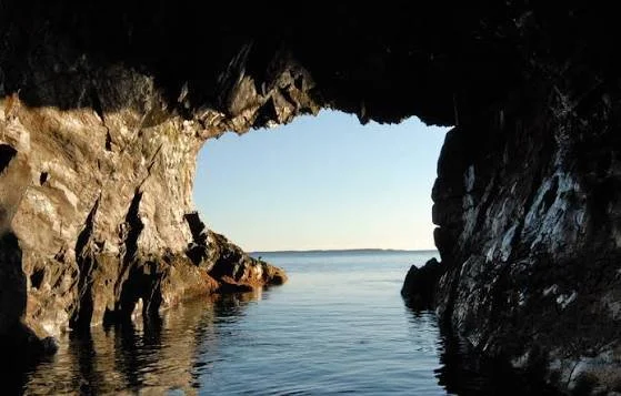
The Ovens Sea Cave Trail | 3 minutes
A cliff-top trail inside The Ovens Natural Park that leads to a series of sea caves, with carved staircases down to the water at Cannon Cave. It's the closest real walk to Feltzen South and the best short payoff for the views.
Length: About 1.5 km round trip
Time: 1 hour
Difficulty: Easy, with some steep stairs
Terrain: Cliff-top path, constructed steps and rocky cave openings
Good to Know: The park is privately owned and charges admission. It runs seasonally, from May to early autumn, so confirm dates before you go. The steps in the caves can be slippery and rocks can fall near the openings, so stay behind the railings. Guided sea-kayak tours also leave from the park (902-766-4621).
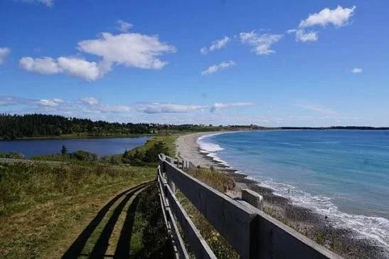
Gaff Point | 13 minutes
The South Shore's best-known coastal hike: start on the sand at Hirtle's Beach, follow the shore and cross forest to a rugged headland of tilted rock and open Atlantic views. The route circles the point, so there's a good excuse for a long beach walk once you're back.
Length: 6.5 to 7.5 km round trip, including a 3.5 km loop around the headland
Time: 2 to 3 hours
Difficulty: Moderate
Terrain: Sand and cobble beach, coastal forest and exposed rock
Good to Know: Wear sturdy footwear, since the path is uneven and not suitable for strollers. Dogs are welcome on a leash. Ticks and bears are both present, so check yourself afterwards, especially if you've walked through the grass. At high tide the route follows a path over the rocks or the hillside instead of the beach. Parking fills quickly on summer weekends, and washrooms are seasonal. Skip the optional scramble down to Grabble Cove unless you're experienced, as it involves ropes.
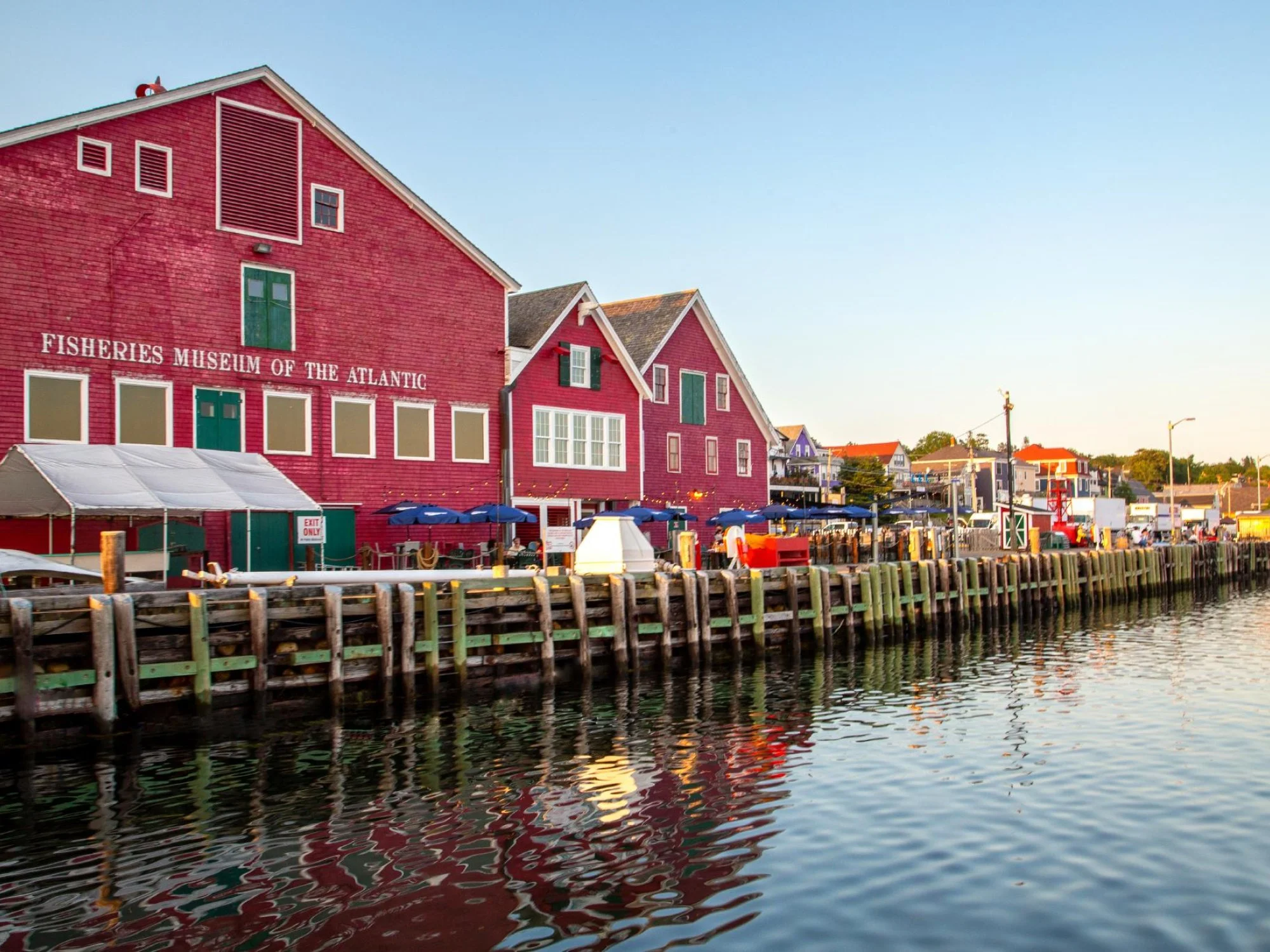
Fisheries Museum of the Atlantic | 18 minutes
Lunenburg's working-waterfront museum, housed in the red buildings of a former fish-processing plant. You can walk the deck and wheelhouse of the Cape Sable, a historic fishing vessel, and the museum is our first pick when the fog rolls in.
Length: Indoor exhibits and the waterfront, with no trail
Time: 1 to 3 hours
Difficulty: Easy
Terrain: Indoor galleries, docks and vessel decks
Good to Know: The museum is seasonal and its 2026 season ends on October 24. Regular 2026 hours weren't published when we checked; in 2025 it opened daily from 9:30am to 5pm, with adult admission at $14.50, so confirm before you go.
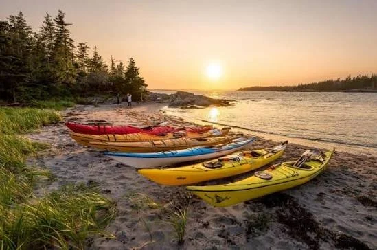
Cape LaHave Adventures | 18 minutes
Guided sea-kayak and stand-up paddleboard trips from Dublin Shore, on the water around the LaHave Islands. Tours range from beginner-friendly to advanced, so it's the easiest way to spend an afternoon on the ocean without needing your own gear.
Length: Varies by tour
Time: 2 to 4 hours for evening and half-day tours; full-day tours are available
Difficulty: Easy (no experience needed for many tours; advanced tours also run)
Terrain: Open water, paddled by sea kayak or paddleboard
Good to Know: Season runs from May to mid-October, and tours are weather dependent. Book ahead (902-693-2023). Evening and half-day tours start at about $89 per person. The drive includes the free LaHave ferry and takes about 49 minutes by road.
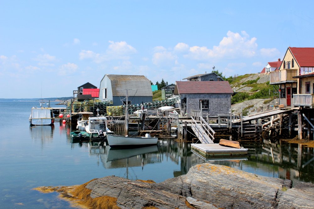
Blue Rocks | 23 minutes
A tiny fishing village of weathered wharves, cottages and boats, and the classic Nova Scotia photograph. You can see it across the harbour from Spindler Beach, though getting there takes a drive around through Lunenburg. Come at golden hour for the best light.
Length: No set trail; wander as far as you like
Time: 1 to 2 hours
Difficulty: Easy
Terrain: Road, working wharf and rocky shoreline with tide pools
Good to Know: This is a working fishing community, so stay off private wharves and property. Wear grippy shoes on the rocks and wharves. Kayaking is also popular in the surrounding water.
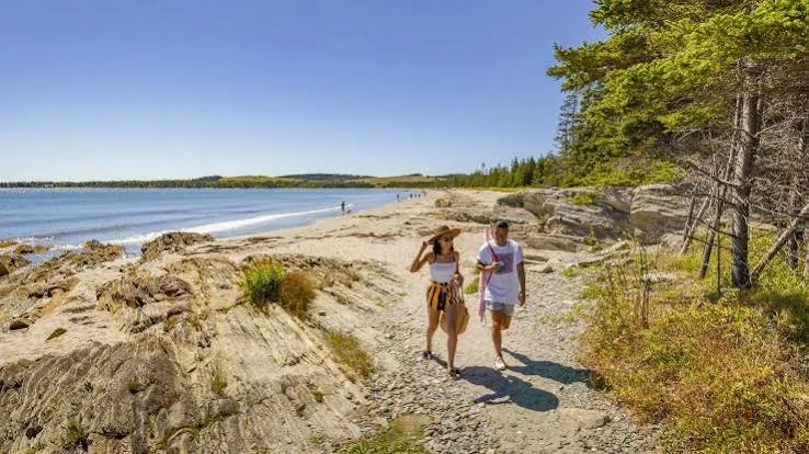
Risser's Beach Provincial Park | 24 minutes
The most complete family outing on this list: four short, easy trails, a boardwalk through the salt marsh and a long white-sand beach with lifeguards in summer. It's an easy way to fit a walk into a beach day.
Length: Four trails, each 500 to 650 m
Time: 30 minutes to 1 hour for the trails, longer with the beach
Difficulty: Easy
Terrain: Boardwalk, salt marsh, dunes and sand
Good to Know: Open May 15 to October 12, 2026. Lifeguards are on duty in July and August. Please stay on the boardwalks to protect the dunes. A beach mat gives wheelchair and stroller access to the sand. A boil water advisory was in effect for the north washrooms when we checked, so call 902-688-2034 for current conditions.
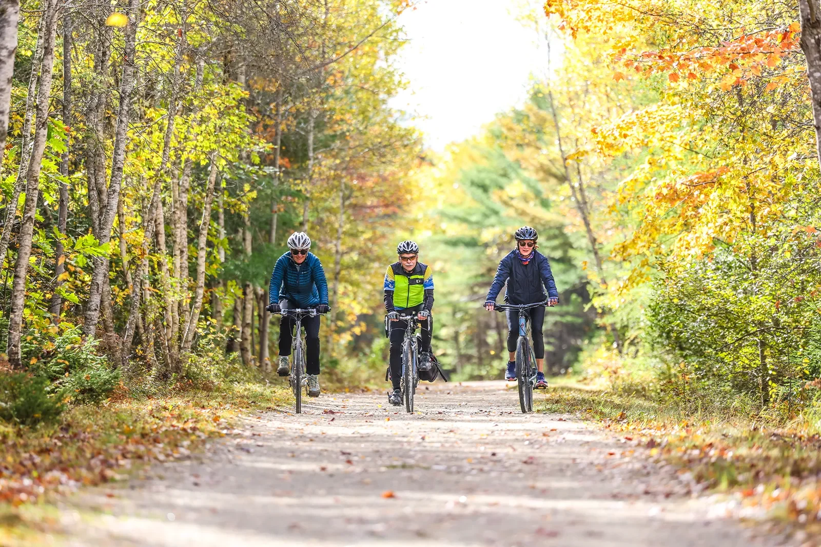
Bay to Bay Trail | 24 minutes
A 10 km rail-trail through woodland between Lunenburg and Mahone Bay, part of the longer Rum Runners Trail. The surface is flat gravel, so it suits a short out-and-back stroll as well as the full trip.
Length: 10 km one way
Time: 2 to 3 hours one way for the full length
Difficulty: Easy
Terrain: Flat gravel rail trail through woodland
Good to Know: Open year-round and wheelchair accessible. It's a shared-use trail, so expect cyclists, ATVs and horses as well as walkers. Leashed dogs are welcome. To walk the full length one way you'll need a second car or a ride back. Drive time is to the Mahone Bay-end trailhead listed on Google Maps; there are several access points along Route 324.